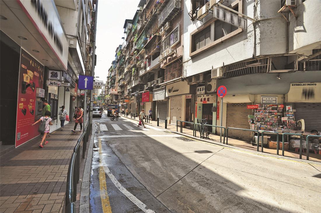
Origin of San Kio District Macao has been known as “Land of Lotus Flower” and “Lotus Island” for its terrain resembled the shape of a lotus flower. Hence, the “Ham Chung” (Salty Tributary) of Hou Kong River of Macao was known as Lotus Stream. A wooden bridge was constructed at today’s Estrada do Repouso to facilitate transport, which was later replaced by a new one after it became weather-beaten over the years. Hence, the district where the bridge was located was named “San Kio” (new bridge).
In 1863, Macao Portuguese government demolished the Campo Gate, Saint Anthony’s Gate and the Patane Gate to extend Macao’s city area to include the villages in Sá-Kong, Tap Siac, San Kio and Patane areas and in today’s Rua do Patane. The some hundreds of village households thus came under Portuguese administration. In June 1913, the Portuguese government of Macao began to urbanize San Kio village by filling up the Lotus Stream and levelled the farmlands for construction of houses and roads. Nowadays, most of the buildings in San Kio district are 5-storey structures constructed during the 1970s to 1980s.
In 1863, Macao Portuguese government demolished the Campo Gate, Saint Anthony’s Gate and the Patane Gate to extend Macao’s city area to include the villages in Sá-Kong, Tap Siac, San Kio and Patane areas and in today’s Rua do Patane. The some hundreds of village households thus came under Portuguese administration. In June 1913, the Portuguese government of Macao began to urbanize San Kio village by filling up the Lotus Stream and levelled the farmlands for construction of houses and roads. Nowadays, most of the buildings in San Kio district are 5-storey structures constructed during the 1970s to 1980s.


